Top 10 Snowiest Cities in Colorado
Most people driving through Colorado on I-70 think they already know where the serious snow is. Vail. Aspen. Breckenridge. Those are the names that come up in every skiing conversation, every weather special, every “best powder” article published every December.
Crested Butte doesn’t show up in those conversations nearly as often.
That’s a problem for the accuracy of pretty much every “snowiest cities in Colorado” list published online because Crested Butte sits at the top of the NOAA rankings, ahead of Vail, ahead of Aspen, ahead of the names people actually know. And the numbers that follow here aren’t from resort weather stations measuring snowfall at 11,000 feet. They’re town-level figures — what falls where people live, shop, send their kids to school. That distinction matters, and it changes the list significantly.
- How We Ranked These Cities
- The 10 Snowiest Cities in Colorado
- 1. Crested Butte
- 2. Vail
- 3. Breckenridge
- 4. Steamboat Springs
- 5. Silverton
- 6. Aspen
- 7. Leadville
- 8. Telluride
- 9. Ouray
- 10. Estes Park
- Colorado Snowfall Comparison Table (All 10 Cities)
- When Does Colorado Get the Most Snow?
- Mountain Towns vs. Front Range — Why the Difference Is So Dramatic
- Check Real-Time Snow Day Chances for Any Colorado City
- FAQ’s
- What is the snowiest city in Colorado?+
- What is the snowiest month in Colorado?+
- How much snow does Crested Butte get per year?+
- Does Breckenridge get more snow than Vail?+
- What Colorado city gets the least snow?+
How We Ranked These Cities
Every snowfall figure in this article comes from NOAA’s National Centers for Environmental Information, using 30-year climate averages from 1991 to 2020. That’s the same baseline the National Weather Service uses for official climate comparisons — not a single season, not a cherry-picked year, a three-decade average.
One thing to be clear about upfront: ski resort snowfall totals are not city snowfall totals. Vail’s ski resort records around 354 inches per year at the mountain. The town of Vail — at the base, where the weather station sits records 189 inches. Both figures are real. They’re just measuring completely different places. This list measures the town. All data sourced and verified through NOAA’s cooperative observer records.
The 10 Snowiest Cities in Colorado
1. Crested Butte
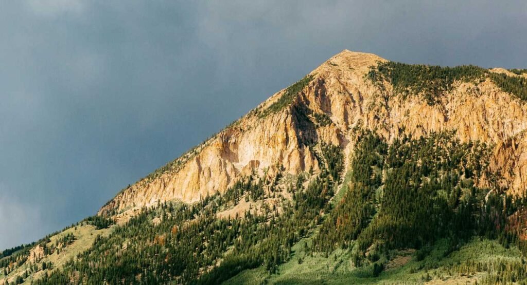
Most people driving through Gunnison County haven’t heard of Crested Butte outside of skiing circles. That’s their loss and, in the context of this list, their data gap.
Crested Butte sits at 8,885 feet in the Elk Mountains and averages 203 inches of annual snowfall at town level. It’s not even close between it and the second spot. The geography here does something specific: the valley position funnels Pacific storm systems into the area, slows them down as they push against the terrain, and forces them to drop their moisture before they can keep moving east. It’s an efficient snow trap in the most literal sense.
January and February are the peak months, though “peak” in Crested Butte means something different than in most Colorado towns. Events of 20–30 inches over two or three days aren’t unusual; they’re just December. The snowpack builds consistently from October through May, with late-season storms in April catching visitors off guard every single year.
Crested Butte Mountain Resort records considerably higher totals at elevation, sometimes exceeding 300 inches in an active season, but even the town’s 203-inch average makes every other Colorado community look understated. School administrators here build snow days into the calendar before the year even begins. They know.
Snow season: October through May
Peak month: January
Closure risk: Very High
2. Vail
The number surprises people every time. Vail’s resort is famous for its mountain snowfall 354 inches annually at the upper mountain but the town of Vail, sitting in its narrow valley at 8,150 feet in Eagle County, records 189 inches at the official NOAA station. Still remarkable. Still more than almost any other place in Colorado. Just not the figure that gets quoted on ski resort marketing materials.
The valley geography explains a lot. Cold air pools in narrow mountain valleys efficiently, holding moisture and making it harder for snow to sublimate between events. Storms that might drop 6 inches on the Front Range leave 18 inches in Vail. The town’s elevation keeps temperatures low enough that snowfall accumulates and stays none of the melt-refreeze cycles that Front Range cities deal with after every storm.
Snow season runs reliably from November through early April, with January consistently delivering the heaviest storm events. The ski resort being there creates a well-funded snow removal operation in town, which means roads stay more functional than they might otherwise but school closure decisions here are still driven by storm intensity, not infrastructure.
Snow season: November through April
Peak month: January
Closure risk: Very High
3. Breckenridge
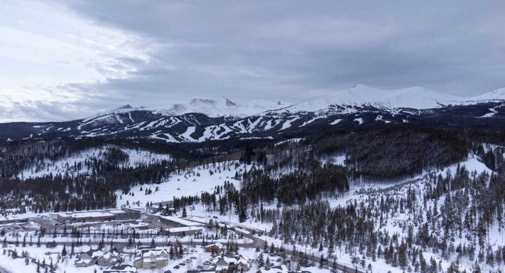
Breckenridge sits at 9,600 feet, the highest elevation of any city on this list, and its NOAA-recorded annual snowfall of 184.6 inches reflects exactly what you’d expect from a community at nearly two miles above sea level. The elevation does the work. At that altitude, temperatures stay cold enough to preserve snowfall that would melt quickly at lower elevations, and the snow season stretches from October through May without interruption.
Summit County’s position on the western slope of the Continental Divide puts Breckenridge directly in the path of Pacific moisture systems moving east. These storms don’t have to travel far before they’re forced upward by terrain, cool rapidly, and dump their load. A single January system can deposit 12–18 inches in 24 hours. That’s not an exceptional event here. It’s a regular January.
What makes Breckenridge interesting from a school closure standpoint is the combination of deep snowfall and the volume of tourist traffic on Highway 9 and I-70. Local families deal with closures based on actual road and weather conditions — but the sheer number of vehicles on mountain routes during ski season means districts factor commute risk differently than they would in a remote mountain town.
Snow season: October through May
Peak month: January
Closure risk: Very High
4. Steamboat Springs

Steamboat Springs averages 184.5 inches per year, essentially identical to Breckenridge, and it has one of the most recognisable marketing phrases in American skiing: “Champagne Powder.” That term, trademarked by the resort, describes the consistently light, dry snowflake structure that Steamboat’s climate produces. It comes from cold temperatures combining with relatively low moisture content in incoming Pacific storms, the result is fluffy, low-density snow that piles up fast.
Located in Routt County in northwestern Colorado, Steamboat sits in a valley where the Yampa River runs. Storm systems funnel through the valley, and the combination of valley position, elevation (6,732 feet for the town), and prevailing storm tracks produces reliable, heavy snowfall from late November through March. What sets Steamboat apart isn’t just the total, it’s the consistency. This isn’t a city that depends on a few monster storms to hit its annual average. It accumulates steadily, reliably, week after week.
Single storm events of 20+ inches happen at Steamboat during peak winter weeks, and they’re not considered unusual by residents. School closures here are a standard part of winter planning, and locals approach the season with the pragmatic preparation of people who’ve done this their entire lives.
Snow season: Late November through March
Peak month: January–February
Closure risk: Very High
5. Silverton
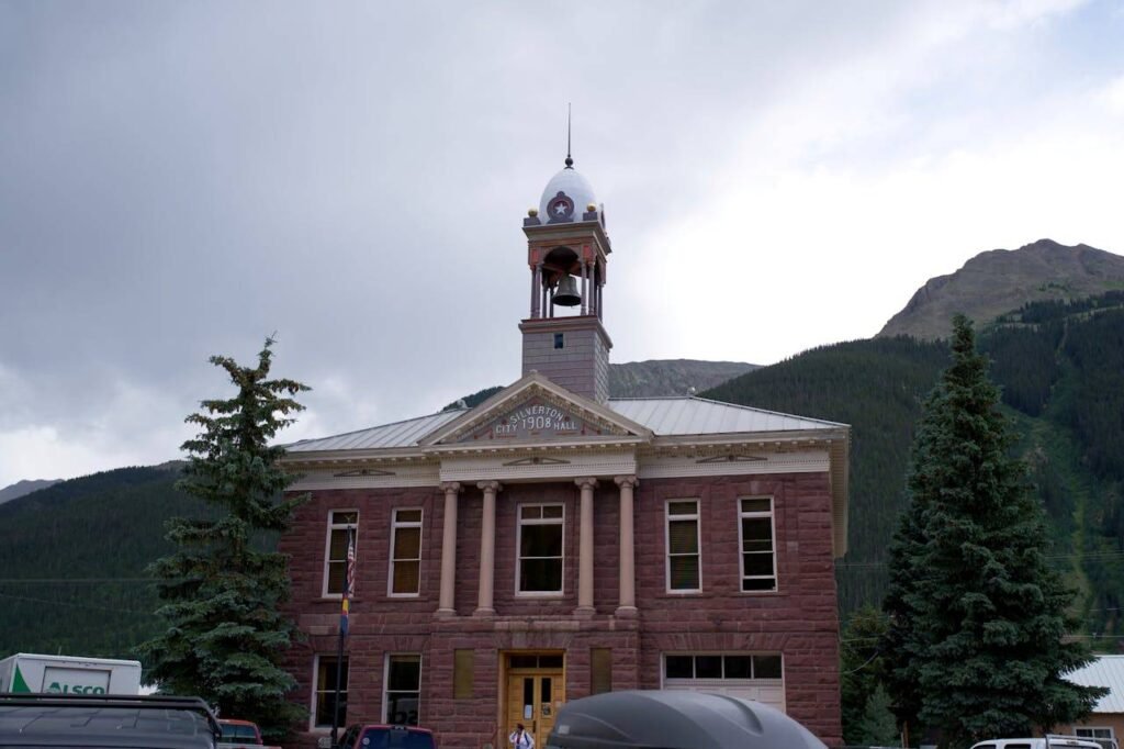
Silverton might be the most extreme entry on this list, not because of its snowfall total alone, but because of what that total means for a community of roughly 600 people. Tucked into the San Juan Mountains at 9,305 feet, Silverton averages 172.6 inches annually and is routinely cut off from the outside world during major storm events. US-550, the Million Dollar Highway connecting Silverton to Ouray to the north, is one of the most dangerous mountain roads in the US in winter conditions.
San Juan Mountain storms come in hard and fast. The surrounding terrain forces incoming moisture systems upward sharply, and the town’s bowl-like position at the base of steep canyon walls creates accumulation that would be staggering in any other context. Events of 12–15 inches overnight aren’t exceptional. And the next storm is usually already forming before the first one has been fully cleared.
Silverton is a remarkable place to visit in winter. Getting there is the challenge. Highway 550 closes for avalanche control regularly between November and April, and the community is genuinely accustomed to periods of isolation that other Colorado towns would find alarming. It’s a different relationship with winter than anywhere else on this list.
Snow season: October through April
Peak month: December–January
Closure risk: Very High
6. Aspen
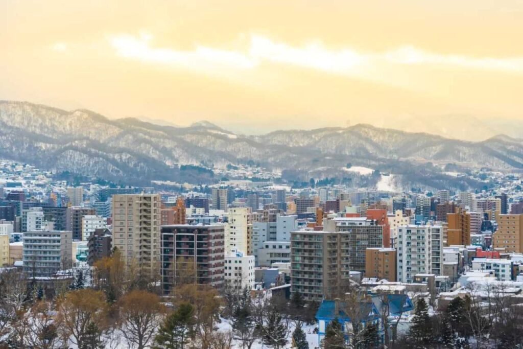
Aspen averages 170.8 inches of annual snowfall at the town level a figure that surprises people who assume it would rank higher given its fame. The Snowmass resort complex above Aspen records totals approaching 300 inches in strong seasons, which is where the inflated numbers in other articles tend to come from. The town of Aspen, at 7,908 feet in Pitkin County’s Roaring Fork Valley, sees considerably less. Still more than almost anywhere else in Colorado. Just not the resort figure.
Aspen’s snowfall is consistent rather than spectacular in any single storm sense. October through May is the full snow window, with December through February representing the reliable heavy accumulation period. Late-season storms in March and April bring some of the deepest powder of the year. Ski instructors and locals know this, which is why April is often considered the best month on the mountain despite being near the end of the season.
The town’s infrastructure for winter operations is well-developed, given the tourism economy’s dependence on accessible roads and functional facilities. School closures happen, but the threshold tends to be set by storm intensity and road conditions rather than accumulation alone.
Snow season: October through May
Peak month: January
Closure risk: High
7. Leadville
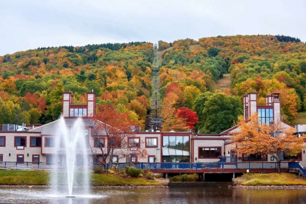
Leadville is the highest incorporated city in the United States, 10,152 feet above sea level and its NOAA annual snowfall average of 156.9 inches is both impressive and, given the altitude, entirely expected. What Leadville lacks in the moisture-trap geography of a valley ski town, it makes up for in sheer elevation. Temperatures at over 10,000 feet stay cold enough to preserve snowfall that would melt quickly at lower elevations, and the snow season runs from September well into May.
Wind is the complicating factor in Leadville. Sustained winds through Lake County can create near-zero visibility during storms and produce drifting that makes roads impassable even when raw snowfall totals are moderate. It’s a city where the storm total can be 4 inches and the effective road condition is equivalent to much heavier snowfall simply because of how the wind moves it.
School closures in Leadville don’t always follow the same logic as lower-elevation communities. A day that nearby Buena Vista handles without disruption can send Leadville schools home because conditions at 10,000 feet are simply different colder, windier, and more sustained than what the valley below is experiencing.
Snow season: September through May
Peak month: January
Closure risk: High
8. Telluride
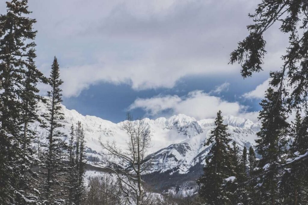
Telluride sits at 8,750 feet in San Miguel County, tucked into the end of a box canyon in the San Juan Mountains. Its NOAA-recorded annual average of 130.8 inches reflects the in-town experience, which is notably lower than the resort’s figure of roughly 276 inches measured at mountain elevation. The canyon geography tells that story: storms arrive from the southwest, funnel into the box canyon, and the heaviest accumulation happens at the higher elevations on the canyon walls rather than in the town below.
What makes Telluride’s snowfall distinctive is the storm pattern. Events come in fast from the southwest, often dropping heavy snow over 12–24 hours before clearing abruptly. Then another system arrives. The tempo during January and February can feel relentless brief clearing windows followed by the next front moving through. Late-season storms in March and April are common and often substantial.
The town’s remote location, with the nearest airport is in Montrose, 65 miles away, means winter weather has real consequences for daily life and travel. Road closures on State Highway 145 are frequent during heavy events, and residents plan their winter schedules around the reality that some days are simply going to be snow days, school or not.
Snow season: October through April
Peak month: January–February
Closure risk: High
9. Ouray
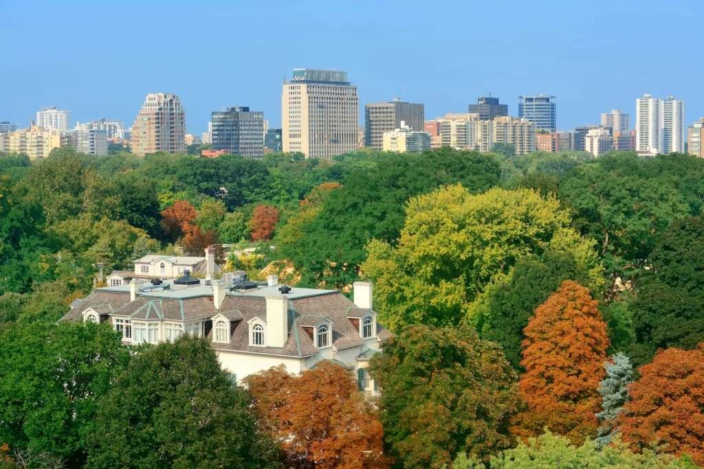
People who’ve visited Ouray describe it as one of the most visually dramatic small towns in the US. The “Switzerland of America” nickname comes from its position in the Uncompahgre Gorge, with steep canyon walls on three sides, a hot springs pool at the center of town, and mountains that rise nearly vertically from the valley floor. That same canyon geography that makes it beautiful is what drives its annual snowfall of 126.4 inches.
Storm systems moving through the southern San Juan Mountains channel moisture into the gorge, and the canyon walls trap cold air and precipitation in ways that amplify accumulation. Snow typically arrives in November and stays reliably through March, with December and January producing the deepest events. The surrounding terrain also creates avalanche risk on the highway approach, making Ouray one of the more isolated communities on this list during significant storm periods.
Road conditions on US-550, which connects Ouray to Ridgway to the north and to Silverton to the south via the Million Dollar Highway, are taken seriously by the Colorado Department of Transportation and locals alike. Storm closures on this route are not uncommon, and the canyon’s walls mean any significant snowfall has to be cleared carefully to prevent slides onto the highway below.
Snow season: November through March
Peak month: December–January
Closure risk: High
10. Estes Park
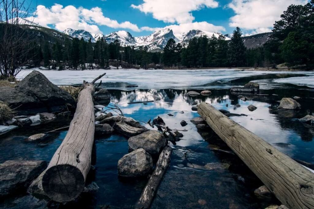
Estes Park is the surprise on this list. Not in the San Juans, not on the Western Slope, it sits on the Front Range, at the eastern edge of Rocky Mountain National Park in Larimer County. Yet it records 104 inches of annual snowfall, making it the snowiest Front Range-adjacent community in the state by a considerable margin.
The reason is upslope weather. When northeast winds push Pacific or continental moisture westward against the mountain front, Estes Park, sitting at 7,522 feet at the mouth of the canyon leading u p to Rocky Mountain National Park, catches that moisture as it’s forced upward against the mountains. The result can be heavy, sudden snowfall events that catch visitors completely unprepared, particularly in early and late season when the Front Range below is dry.
March is actually Estes Park’s snowiest month on average, the opposite of most mountain towns, which peak in January. Late-season upslope storms in March and April can dump 18–24 inches on the town when Denver is sunny. It’s a weather pattern specific to this particular piece of geography, and it’s the reason Estes Park belongs on a list of Colorado’s snowiest communities despite being more accessible than the deep mountain towns above it.
Snow season: October through May
Peak month: March
Closure risk: Moderate-High
Colorado Snowfall Comparison Table (All 10 Cities)
| # | City | Annual Avg (inches) | Peak Month | Snow Season | Closure Risk |
|---|---|---|---|---|---|
| 1 | Crested Butte | 203.0″ | January | Oct–May | Very High |
| 2 | Vail | 189.2″ | January | Nov–Apr | Very High |
| 3 | Breckenridge | 184.6″ | January | Oct–May | Very High |
| 4 | Steamboat Springs | 184.5″ | Jan–Feb | Nov–Mar | Very High |
| 5 | Silverton | 172.6″ | Dec–Jan | Oct–Apr | Very High |
| 6 | Aspen | 170.8″ | January | Oct–May | High |
| 7 | Leadville | 156.9″ | January | Sep–May | High |
| 8 | Telluride | 130.8″ | Jan–Feb | Oct–Apr | High |
| 9 | Ouray | 126.4″ | Dec–Jan | Nov–Mar | High |
| 10 | Estes Park | 104.0″ | March | Oct–May | Moderate-High |
When Does Colorado Get the Most Snow?
Colorado’s snow season is longer than most states, and more variable than most people expect even within the state.
- October kicks things off at altitude. Crested Butte, Silverton, and Leadville can see real accumulation before Halloween — enough to catch hikers and campers who haven’t updated their seasonal plans.
- November is when the season gets serious across western Colorado. Steamboat Springs, Vail, and Breckenridge start building snowpack. Mountain passes transition to winter driving conditions that stay that way until April.
- December is the first peak month. It’s the second snowiest month statewide and the point at which consistent, compounding snowpack begins. Storm after storm through December is the rule, not the exception, in the top half of this list.
- January is the deepest month for most of the state’s mountain communities. The heaviest single-storm events typically fall in the December 15–February 15 window, with January delivering the most consistent week-over-week accumulation.
- February rounds out deep winter. Snowpack reaches its seasonal maximum across the Western Slope.
- March is complicated. Mountain communities still see significant snowfall. Estes Park peaks in March due to upslope patterns. Some of the best late-season powder in the state falls in the last two weeks of March.
- April and May — the season winds down at lower elevations, but Leadville and Crested Butte can still receive meaningful accumulation. A late May snowstorm at Crested Butte isn’t even news locally.
Mountain Towns vs. Front Range — Why the Difference Is So Dramatic
Colorado Springs averages about 32 inches of snow per year. Crested Butte gets 203. Same state. 171-inch gap. The explanation is worth understanding because it changes how you read a snow forecast.
Mountain towns on Colorado’s Western Slope sit directly in the path of Pacific moisture systems moving east. As these storms approach the Rockies, terrain forces them upward. Rising air cools rapidly, and cooling air loses its ability to hold moisture — that moisture becomes snow. The higher the elevation, the more intense this process. Which is why Crested Butte gets buried while Denver gets a moderate Tuesday storm.
The Front Range faces the opposite dynamic: Chinook winds — warm, dry air descending from the mountains — frequently melt or even prevent accumulation along the I-25 corridor. A 6-inch snowstorm in Denver can disappear entirely within 48 hours as a Chinook arrives. That same storm left 18 inches in Summit County that won’t fully melt until March.
This is why the comparison table matters. A 30% snow day probability in Colorado Springs and a 30% probability in Crested Butte are not remotely the same situation.
Check Real-Time Snow Day Chances for Any Colorado City
Snowfall forecasts in Colorado shift fast — particularly in the mountains, where terrain-driven weather can develop and intensify in hours. Our Snow Day Predictor gives you a real-time probability score for school closures based on live National Weather Service data for your specific ZIP code.
Enter your ZIP code, get your probability, and check back through the evening as the forecast evolves. Most Colorado school districts make closure decisions between 4 AM and 6 AM — but if you’re watching a storm build on the radar overnight, your probability score is going to tell you what’s coming before any official announcement does.
For comparison across the broader Mountain West, see our full breakdown of the top 10 snowiest cities in the United States. And if a serious Colorado storm is on the way, our winter storm readiness guide covers everything worth doing before the first flake falls.
FAQ’s
Crested Butte — averaging 203 inches of annual snowfall based on NOAA 30-year climate data. It consistently leads all Colorado communities at town-level measurements, ahead of better-known names like Vail and Steamboat Springs.
January is the peak month for most Western Slope mountain communities. The exception is Estes Park, where March upslope storm patterns deliver the heaviest single events of the season. For the state overall, the December 15 to February 15 window is when the most intense storm activity occurs.
Crested Butte averages 203 inches — just under 17 feet — of snow per year at town level, based on NOAA data from 1991 to 2020. The ski resort records higher totals at mountain elevation. Both are real figures. The 203-inch figure reflects what falls where people actually live.
At the town level, Breckenridge (184.6 inches) and Vail (189.2 inches) are separated by less than 5 inches annually. Vail edges slightly ahead in the NOAA data, though year-to-year variability means either city can lead in any given season. Both sit in the Very High closure risk category, and both earn it.
Grand Junction, on the Western Slope near the Utah border, averages just 17.7 inches per year, the least of any major Colorado city. Its position in the sheltered Grand Valley creates a semi-arid climate that stays remarkably dry compared to the mountain communities a few hours to the east.